It’s an otherworldly place, Western Tibet. Or, at least it was back in 2006.

At that time, roads - now, I hear, paved - were washboarded paths winding endlessly across the immensity of the Plateau, ribbons of dirt in a sea of grassland.
Settlements were minimal as well. Our small expedition had come from the south, trekking Karnali River through Maoist-controlled Humla in Nepal to cross the border at Hilsa. Nepali and Tibetan sides of the border were rustic, little more than a small collection of houses and huts and ramshackle buildings serving as customs depots.
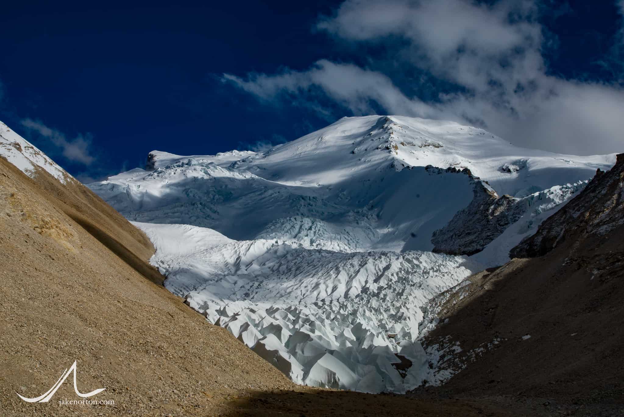
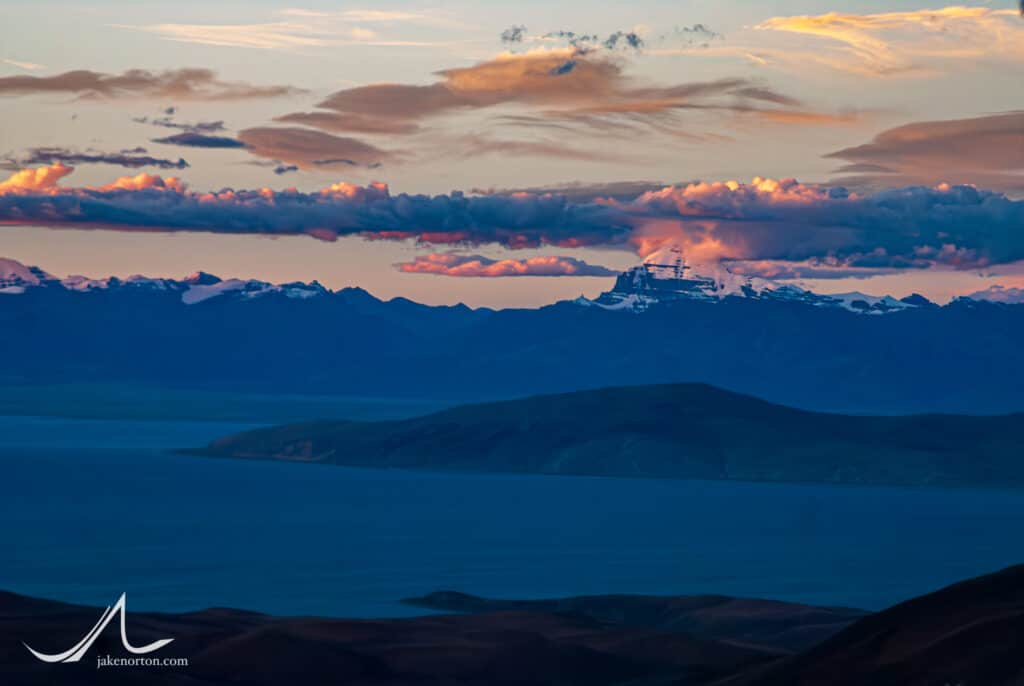
From Hilsa, we traveled north to the sacred lakes of Manasarovar and Raksas Tal, turned west to visit sacred Tirthapuri, ancient Tholing, and the Anasazi-esque cliffside domiciles of the Guge Kingdom, before eventually making a kora (circumambulation) of Mount Kailash. And, finally, we made it to the overall goal: Gurla Mandhata (Naimona’nyi), a 25,354 foot (7,728 m), little known or climbed peak just south of the sacred lakes.
I knew lore of the mountain well. Tom Longstaff made the first attempt on it in 1905, having walked to the peak after a 1,000 mile trek and, with Alexis and Henri Brocherel, the trio climbed to over 7,000 meters - and got avalanched down some 3,000 feet, miraculously surviving the ordeal. It saw scant little attention in the intervening century, with just a handful of ascents including the first ascent in 1985. One of my closest friends from college, Quinn Simons, made an attempt up the East Face in 1997, and barely survived an epic series of events that cost him his feet and fingers, but fortunately not his life (or those of his teammates).
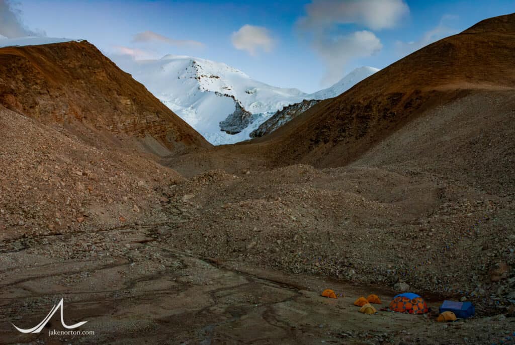
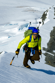
So, I knew the mountain. I knew its legend, its history and reputation. But I knew little else. I had never been near it, never seen it, never set foot within several hundred miles of its sprawling glaciers, deep valleys, and jagged ridges. But, here I was, with four clients and four great Sherpa friends, all ready to give it a try.
Had it just been me, I probably wouldn’t have spent too much time prior trying to decipher the nuance of the terrain, opting instead for the adventure of getting there and figuring it out as I went. But, with clients, that was not a viable option. But, neither were detailed route descriptions and photos, accounts of past climbs and attempts, etc. Little of that existed, so I turned for research to the best sources: Longstaff’s account from 101 years prior coupled with the then-new technology of Google Earth. With these, I cobbled together a plan, a circumspect understanding of the route and the terrain, and an idea of where we might be able to place camps and make a run for the summit.
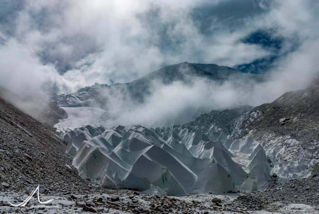
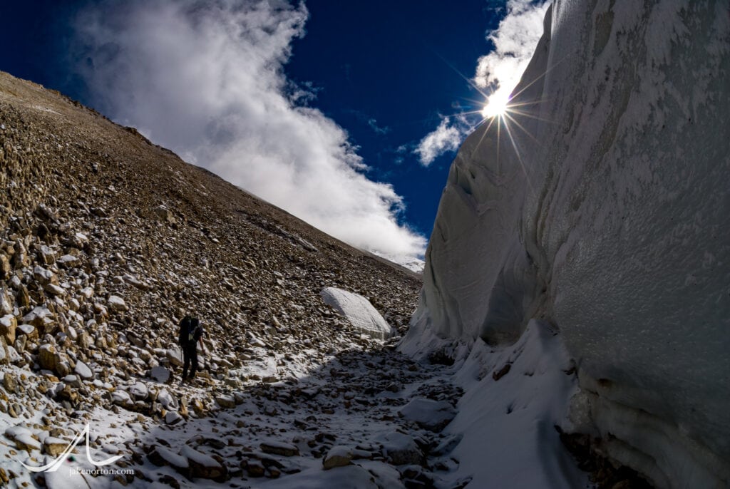
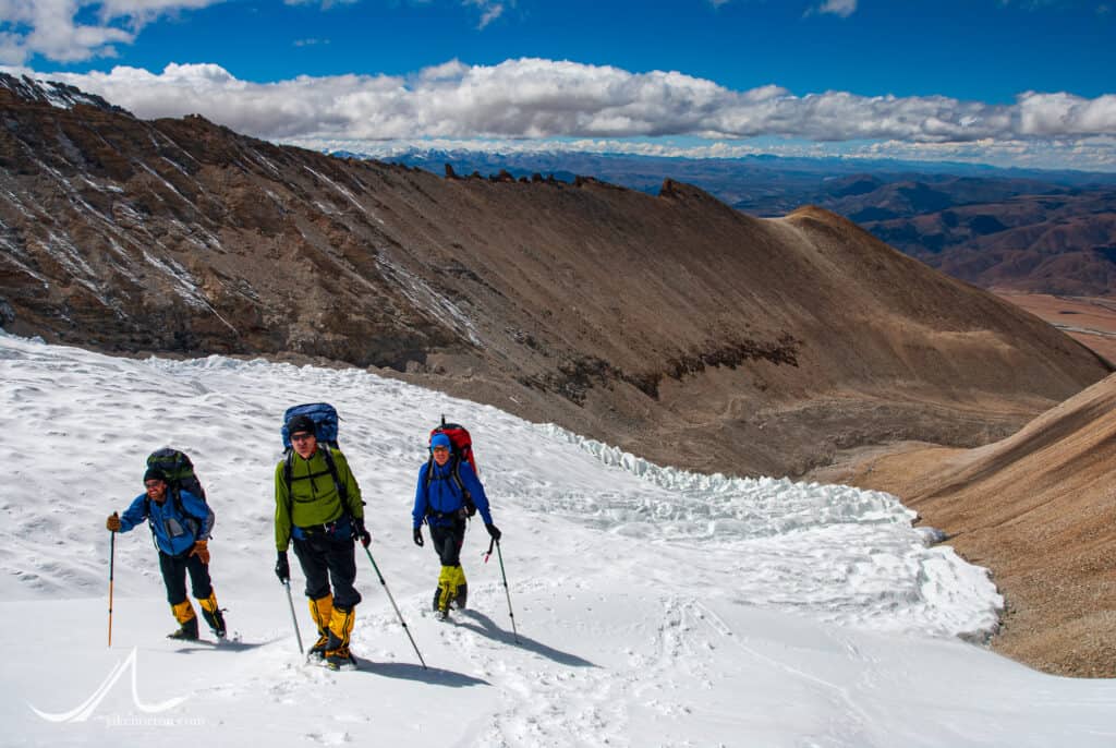
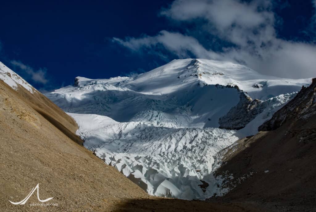
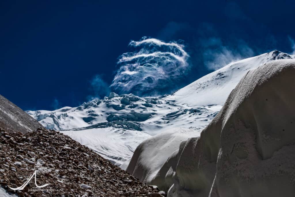
And, finally, there we were. A year of dreaming, months of planning, weeks of trekking and adventuring and acclimatizing…and we were now climbing up the slopes of an unknown (to us) mountain. We were not there to reach the summit, to plant a flag, to prove ourselves in the ego world. If we had been, we would have (should have) chosen a peak other than Gurla, one well known and primed for the press. No, our goal was one of exploration, personal growth, seeing new territory, pushing ourselves and learning from the experiences, and to take it all back home with us at the end.
We shall not cease from exploration
- TS Eliot, Little Gidding
And the end of all our exploring
Will be to arrive where we started
And know the place for the first time.
Through the unknown, unremembered gate
When the last of earth left to discover
Is that which was the beginning;
